MENVILLE'S TRACK
MENVILLE
Description
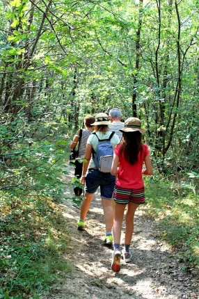
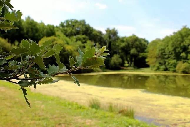
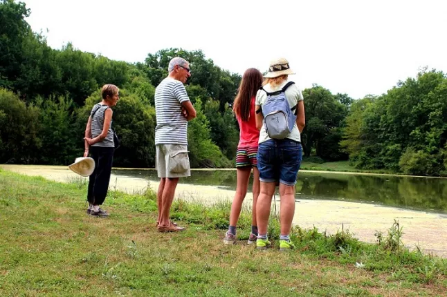
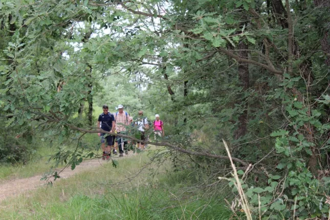
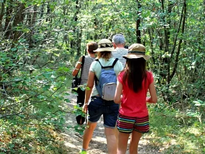
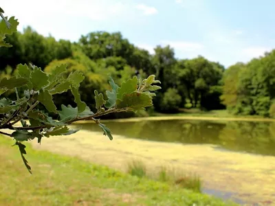
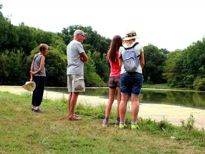
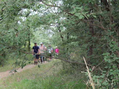
This trail offers various landscapes including the banks of the river Save and the Carayon woods.
Practical information
Services
- Car parking
Information on the circuit
- Kind of itinerary : Foot
- Duration of the itinerary : 02:00 Between 2 and 4 hours
- Departure village : MENVILLE
- Arrival village : MENVILLE
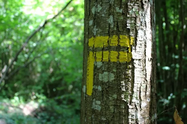
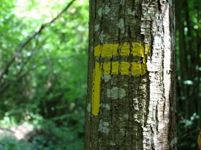
- Signposts colour :
- Difference in height in meters : 100
- Difficulties : Medium
Contact & location
Contact
Mairie
31530 MENVILLE
Tel. : 05 61 82 93 85
Email : tourisme@hautstolosans.fr
Location
Latitude : 43.676983 - Longitude : 1.193565
Hauts Tolosans
as you like it...