GRENADE
Description
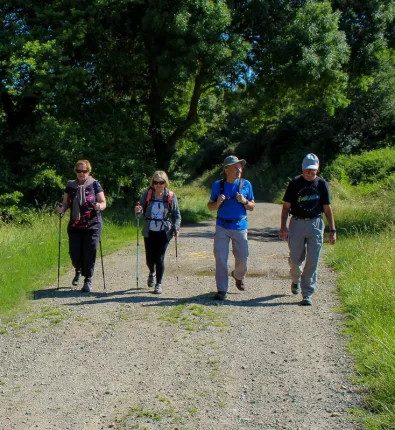
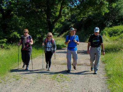
A hike starting from the car park in the hamlet of En Garre, not far from Grenade, to discover nature in complete tranquillity.
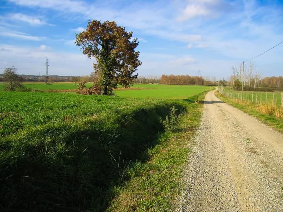
At Coustète, take the track on the left and when you reach the D87, turn left and then immediately right towards the hamlet of Aubinels. At the bottom of the hamlet, turn right, then left across the fields to the curtain of trees bordering the river Save. Turn right and then right again for 1.4km to reach the hamlet of En Garre via the Save valley. Go up into the hamlet and through it to come out on the D87. Turn right for 40m, then left on the rising road. At the house on the right, "Le Prieur", take the dirt track opposite for 1 km. At the crossroads, turn right onto the Chemin de Bramayre basse. Continue to the next crossroads. Go back down to the right along the chemin de l'Avocat. Here you will pass an old barn belonging to Grandselve Abbey. At the road, turn right for 50m, then left through the fields. At the flagpole, go straight ahead and then take the same path as before.
Practical information
Services
- Car parking
Information on the circuit
- Kind of itinerary : Foot
- Duration of the itinerary : 02:00 Between 2 and 4 hours
- Departure village : GRENADE
- Arrival village : GRENADE
- Signposts colour :
- Difference in height in meters : 162
- Difficulties : Medium

Contact & location
Contact
En Garré
31330 GRENADE
Tel. : 05 61 82 93 85
Email : tourisme@hautstolosans.fr
Location
Latitude : 43.747025 - Longitude : 1.252391
Hauts Tolosans
as you like it...