BOUCLE DE LAUNAC
LAUNAC
![parc_de_launac_800x600 (2), LAUNAC](https://cdn.laetis.fr/i/hautstolosans/detail/cdt31.media.tourinsoft.eu/upload/parc-de-launac-800x600--2-.jpg)
![Randonnee-boucle-de-Launac-Credit-OT-Hauts-Tolosans--5-, LAUNAC](https://cdn.laetis.fr/i/hautstolosans/detail/cdt31.media.tourinsoft.eu/upload/Randonnee-boucle-de-Launac-Credit-OT-Hauts-Tolosans--5-.jpg)
![Randonnee-boucle-de-Launac-Credit-OT-Hauts-Tolosans--6-, LAUNAC](https://cdn.laetis.fr/i/hautstolosans/detail/cdt31.media.tourinsoft.eu/upload/Randonnee-boucle-de-Launac-Credit-OT-Hauts-Tolosans--6-.jpg)
![parc_de_launac_800x600 (1), LAUNAC](https://cdn.laetis.fr/i/hautstolosans/detail/cdt31.media.tourinsoft.eu/upload/parc-de-launac-800x600--1-.jpg)
![Randonnee-boucle-de-Launac-Credit-OT-Hauts-Tolosans--7-, LAUNAC](https://cdn.laetis.fr/i/hautstolosans/detail/cdt31.media.tourinsoft.eu/upload/Randonnee-boucle-de-Launac-Credit-OT-Hauts-Tolosans--7-.jpg)
![Randonnee-boucle-de-Launac-Credit-OT-Hauts-Tolosans--8-, LAUNAC](https://cdn.laetis.fr/i/hautstolosans/detail/cdt31.media.tourinsoft.eu/upload/Randonnee-boucle-de-Launac-Credit-OT-Hauts-Tolosans--8-.jpg)
![Randonnee-boucle-de-Launac-Credit-OT-Hauts-Tolosans--4-, LAUNAC](https://cdn.laetis.fr/i/hautstolosans/detail/cdt31.media.tourinsoft.eu/upload/Randonnee-boucle-de-Launac-Credit-OT-Hauts-Tolosans--4-.jpg)
![Randonnee-boucle-de-Launac-Credit-OT-Hauts-Tolosans--3-, LAUNAC](https://cdn.laetis.fr/i/hautstolosans/detail/cdt31.media.tourinsoft.eu/upload/Randonnee-boucle-de-Launac-Credit-OT-Hauts-Tolosans--3-.jpg)
![Randonnee-boucle-de-Launac-Credit-OT-Hauts-Tolosans--1-, LAUNAC](https://cdn.laetis.fr/i/hautstolosans/detail/cdt31.media.tourinsoft.eu/upload/Randonnee-boucle-de-Launac-Credit-OT-Hauts-Tolosans--1-.jpg)
![Randonnee-boucle-de-Launac-Credit-OT-Hauts-Tolosans--9-, LAUNAC](https://cdn.laetis.fr/i/hautstolosans/detail/cdt31.media.tourinsoft.eu/upload/Randonnee-boucle-de-Launac-Credit-OT-Hauts-Tolosans--9-.jpg)
![Randonnee-boucle-de-Launac-Credit-OT-Hauts-Tolosans--2-, LAUNAC](https://cdn.laetis.fr/i/hautstolosans/detail/cdt31.media.tourinsoft.eu/upload/Randonnee-boucle-de-Launac-Credit-OT-Hauts-Tolosans--2-.jpg)
Descriptif
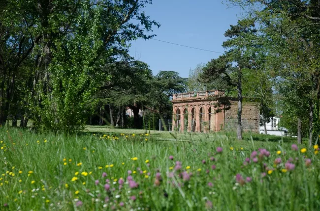
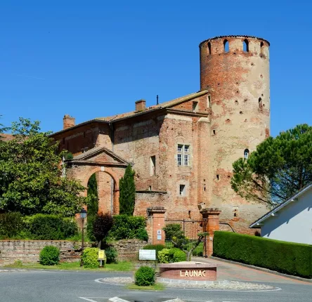
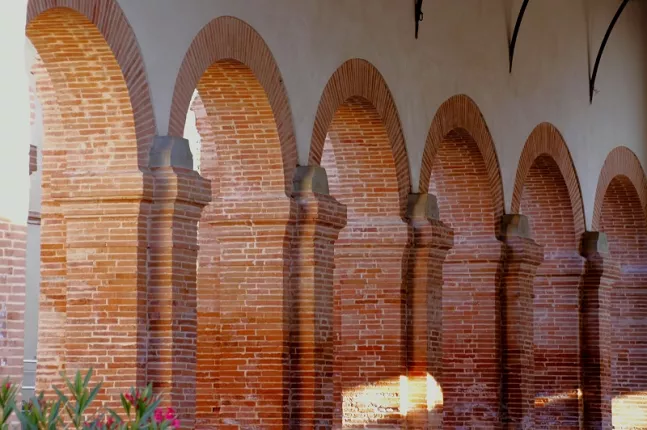
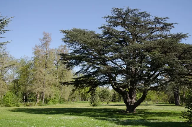
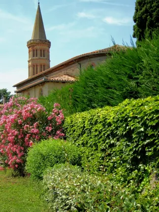
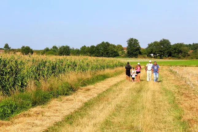
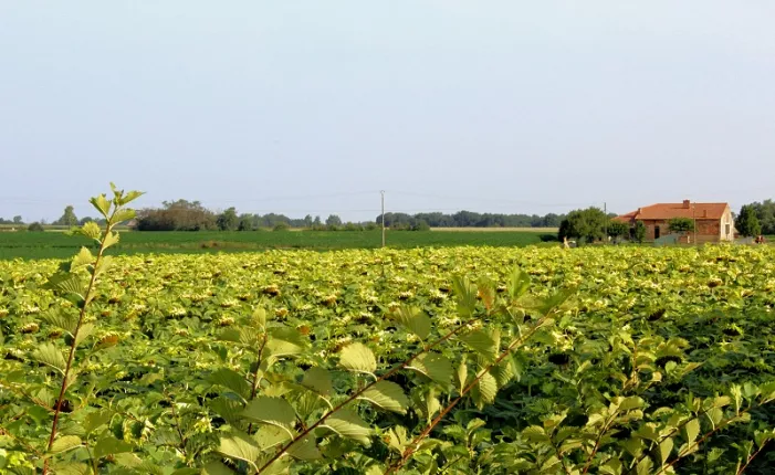
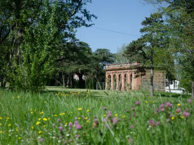
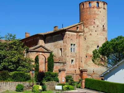
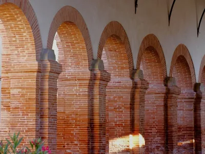
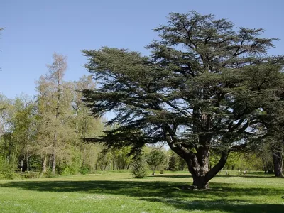
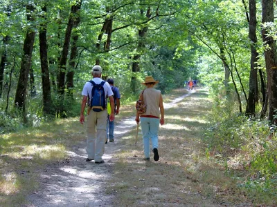
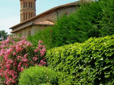
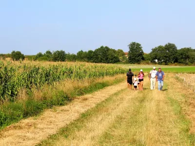
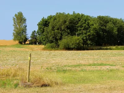
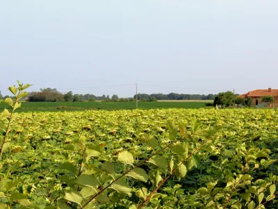
Des paysages dégagés, des fermes disséminées, des lacs ou des petits bois vous attendent dans randonnée, sans oublier le Château du XV° ou la Halle avec ses piliers en brique du XIX° siècle.
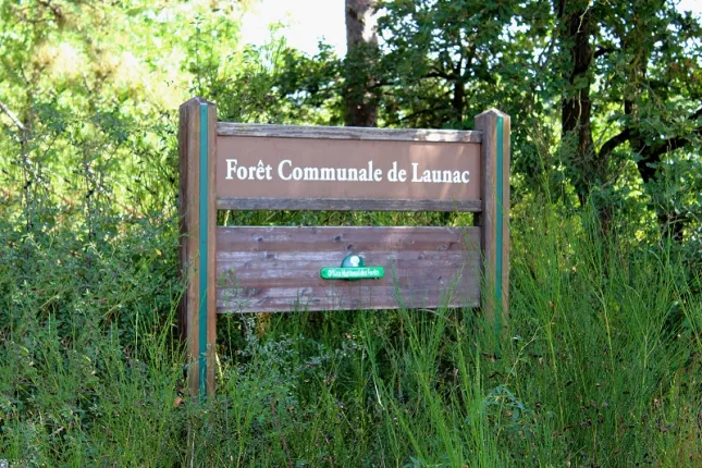
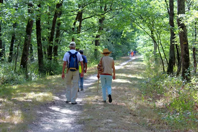
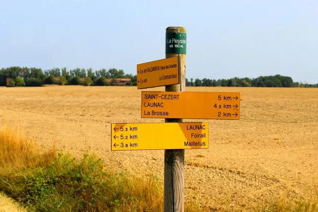
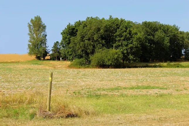
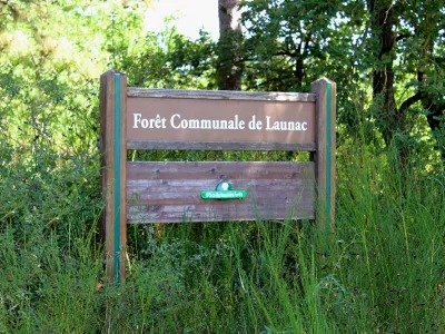
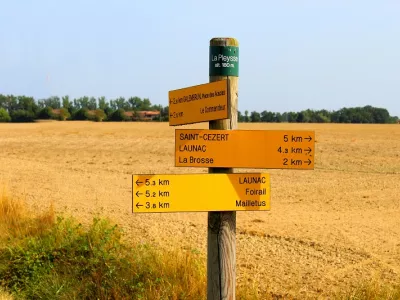
Du parking de la salle polyvalente, aller vers la halle et prendre à gauche, le chemin de la Péladère. Au mât, prendre à droite chemin des litanies. Au silo tourner à gauche sur la route. 120 m environ après, prendre le chemin goudronné à droite vers le Coucassayre. 2 km après prendre la route à droite aux cyprès. Chemin de terre durant 0,5 km. En chemin, au mât de Mailletus, vous pouvez prendre un raccourci en tournant à droite. Vous rejoindrez le foirail. Au calvaire sur la D29, tourner à gauche sur 250m. Au transformateur tourner à droite et marcher sur 1 km puis entrer dans la forêt de la Pleysse. Prendre l'allée centrale jusqu'à la lisière, passer sur la passerelle et continuer sur le chemin de servitude agricole. A l’intersection avec le chemin de Jordi (balise), tourner à droite sur 2,5 km. Au mât de la Pleysse, continuer tout droit. Au mât de la Brosse, tourner à droite sur une petite côte. Au calvaire, tourner à droite et longer l'allée d'arbres. A hauteur du cimetière tourner à droite vers la D.58. Au carrefour, prendre à droite en direction de la halle puis retour à la salle polyvalente à droite.
Infos pratiques
Services
- Parking voitures
Informations sur le circuit
- Type d'itinéraire : Pédestre
- Durée du parcours : 04:00 Entre 2 et 4 heures
- Commune de départ : LAUNAC
- Commune d'arrivée : LAUNAC
- Couleur du balisage : Jaune
- Dénivelé en mètres : 219
- Difficulté : Moyen
Contact & localisation
Contact
Rue du Parc
31330 LAUNAC
Tel. : 05 61 82 93 85
Email : tourisme@hautstolosans.fr
Localisation
Latitude : 43.742954 - Longitude : 1.183052